
Forecast and Monitoring


In the Eastern Nile basin
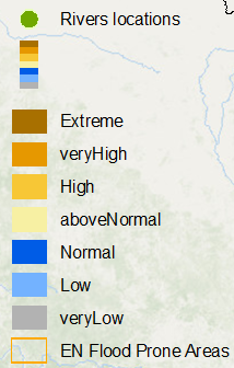
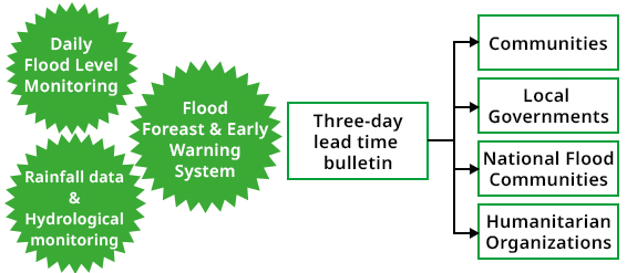
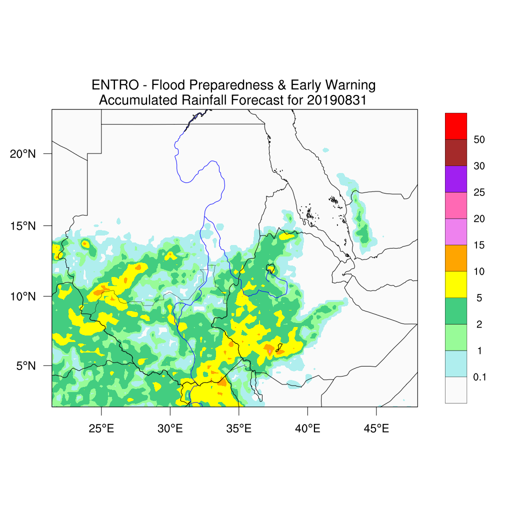
During the rainy season flood levels and rainfall conditions are monitored daily in the flood prone areas. Rainfall is monitored at meteorological stations and validated against satellite-based earth observations. In addition, flows and water levels are monitored at hydrological stations.These regular monitoring activities support validation and quality control of flood forecasts produced with the Eastern Nile Flood Forecast and Early Warning System (EN-FFEWS).
Flood forecasts are carried out for
- Lake Tana
- Blue Nile
- Baro-Akobo-Sobat (BAS)
- Tekeze-Setit-Atbara (TSA) sub-basins
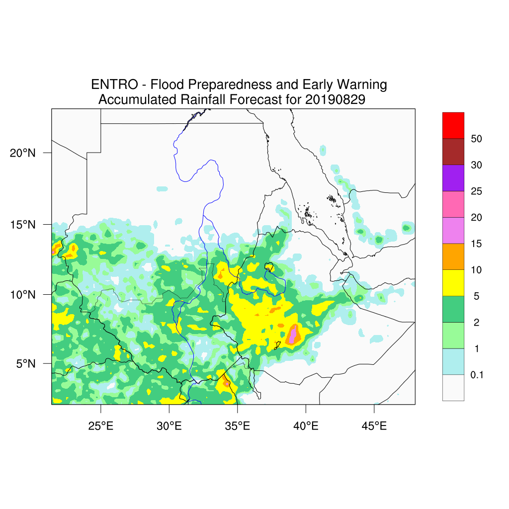
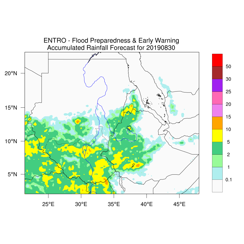
The forecasts use as input rainfall forecastsfrom the Weather Research and Forecasting (WRF) model. WRF is a regional customization with inputs from NCEP’s (National Centers for Environmental Prediction) Global Forecast System (GFS). On this basis, peak runoff and peak floodwater levels are simulated with hydrological and hydrodynamic models. The forecast results are managed with MIKE Operations, a flood forecasting system with customized solutions for data integration, analysis of forecasts, results visualizations and dissemination of flood warnings.
The three days lead-time forecast results are disseminated using
- The Eastern Nile web page, as well as
- SMS and e-mail to different users and concerned stakeholders, such as communities, local and national flood communities and humanitarian organizations among others. With this, effective flood response actions can be carried out in the flood affected communities in due time.